Tuesday, August 30, 2016

Santa Fe, Taos, and the Rio Grande Gorge National Monument

Friday, August 26th and Saturday August 27th-  We loved, loved Santa Fe.  We decided the best way to see this small city ( almost 70,000 people at about 7000 feet of elevation) was to take a trolley tour.  We picked up the trolley near the Loretto Chapel and the Plaza, which is the center of activity.  The tour was great and we learned a lot.  The community is very art-oriented and has 240 art galleries, in addition to museums, most notably that of Georgia O'Keefe.  Many of the galleries seem to specialize in bronze sculptures that are just beautiful.  It is also the end of the Santa Fe Trail that ran from Kansas City to Santa Fe in the early 1880's.  The Trail was used for migration of pioneers but primarily for trade.  Much of the trade was done with Conestoga-style wagons, the fanciest of which went for $5000 in the 1800's!  It was eventually replaced by the railroad which, unfortunately, passed Santa Fe by.
     One of the unique aspects of Santa Fe is its appearance.  A building code was passed in 1912 requiring that all buildings within the downtown area be built in a Spanish style, basically adobe.  There are still some truly old adobe buildings downtown, but most have been built more recently. Still, it gives the town a "different" look.  They like to be known as "different".  The other thing about Santa Fe is the beautiful location in a valley, surrounded by mountains.
     Santa Fe just has a certain "feel"- friendly, comfortable, a place you could  come back to many times and find something to do.  There are nearby ski areas for winter enthusiasts, lots of art, and LOTS of shopping.  The restaurants are numerous, as well.
     After our tour, Dale and I visited several of the sites pointed out to us by our tour guide.  The Loretto chapel on the Old Santa Fe Trail is known for its "Miraculous Staircase".  The story goes that the nuns of the chapel prayed to St. Joseph, the patron saint of carpenters, for help with a way to access the second story of the chapel, as it had been built too narrow for a normal stairway.  A few days later, a stranger showed up, built a spiral staircase using wooden pegs for support, then disappeared.  There is still a debate among builders and engineers on how the staircase is actually supported.
     The Cathedral Basilical of Saint Francis was built in a Romanesques style, very different than the surrounding buildings.  The building never got the steeples it was supposed to have, as they ran out of money to complete them- even after having borrowed from the local Jewish synagogue!  Still very pretty chapel with a nice statue of St. Francis out front.
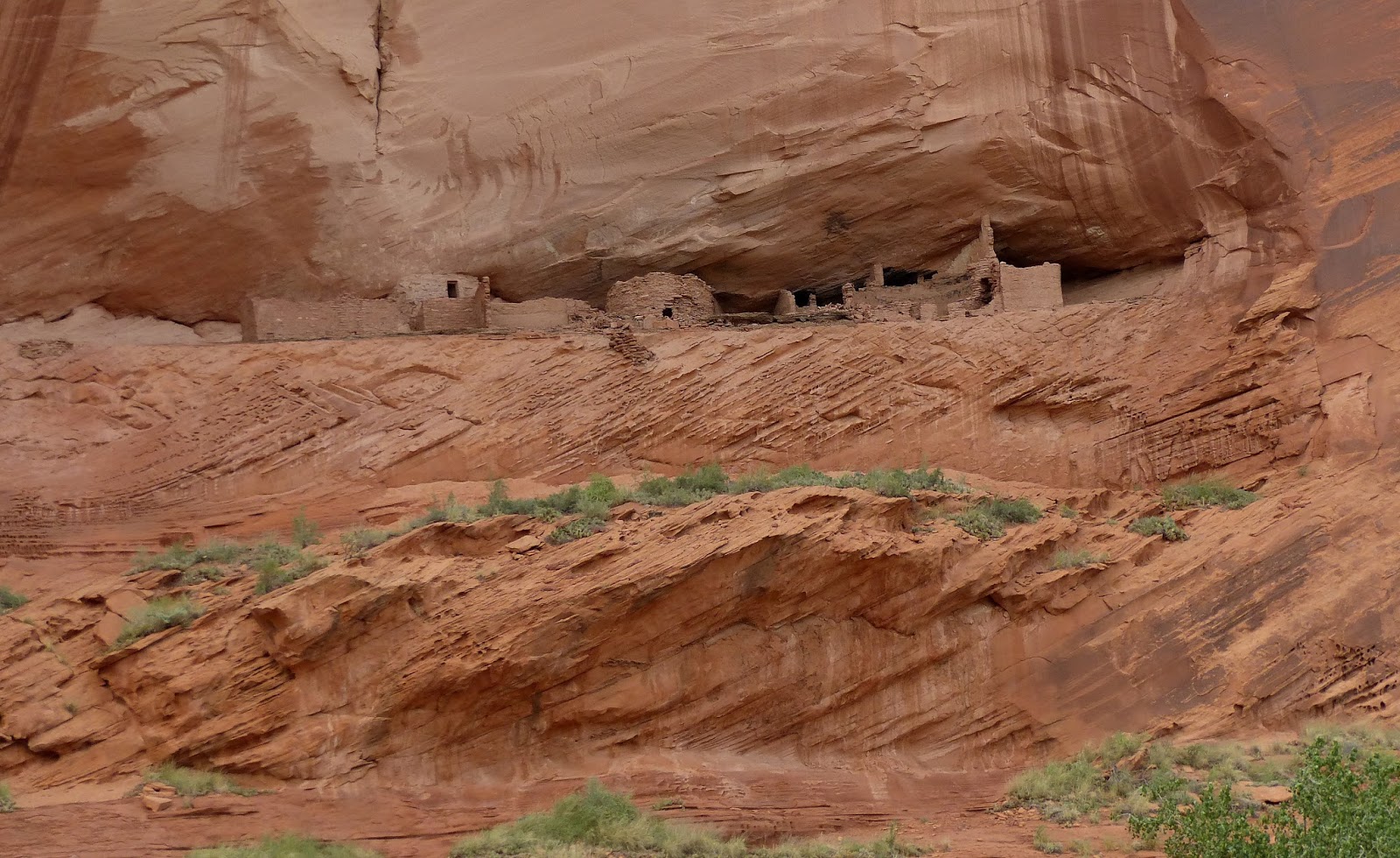
     The rest of the day was spent at lunch and investigating one of the oldest houses in the U.S.- not really very impressive.  The lunch, however, was great!  We decided to stay an additional night in Santa Fe in order to go up to Taos the next day.


     Saturday morning we headed up to Taos, about an hour and a half from Santa Fe.  Somehow, I thought Taos was more up in the mountains than Santa Fe, but it is really at the same elevation.  There is a well-known ski area here, so winter sports are abundant.  The drive up to Taos was really nice.  There were some winding mountain roads, the main road going through many small towns.  As we were driving, we noticed a large river coming down the mountains and wondered what it was.  We also noticed several pull-out areas for rafts to be put in the river.  There was a Visitor Center near one of these, so we pulled in.  We were very surprised to find out that the whole area was the Rio Grande Gorge National Monument.
     The Rio Grande River starts in the San Juan Mountains of Colorado, and comes down into Mexico, than empties into the Gulf of Mexico after creating part of the border between Texas and Mexico.  The river here, designated as a National Wild and Scenic River, is wide and full of rapids.  The Monument, which was designated on March 25, 2013 by President Obama, encompasses 242,455 acres and is, again, managed by the the BLM.  We spent some time in the Visitor Center talking with the docent and looking at maps.  Just never know what you will find in your travels....
     The docent directed us in how to find the deepest part of the Rio Grande Gorge.  Just north of Taos,  Rt. 64 crosses the gorge on a bridge.  We found the spot and spent a few minutes taking photos before heading back into town.  The gorge is pretty impressive, much newer geologically than the Grand Canyon, having been cut into the thin crust of the volcanically- active area.
     Taos is quite a bit smaller than Santa Fe.  I had expected that I would like it better than Santa Fe, but did not.  The plaza was nice, we strolled around town looking at some of the shops and galleries, but it just did not have the same feel for me.  However, the surrounding area is beautiful- a large, grassy valley surrounded by mountains with this clear, clean air.
     This whole area is just very special, and is certainly a spot that you could revisit easily and find lots to do.  Keep it on your list!


Saturday, August 27, 2016

Canyons of the Ancients National Monument

Wednesday, August 24th and Thursday, August 25th-  We never had a chance to look through the Visitor Center at Canyon de Chelly before our Jeep tour, so started there on Wednesday morning.  The displays were in the process of being upgraded, so it did not take long.  We thought we might drive part of the Rim Drive, but even with the map provided, we could not find the access points.  We decided to just move on to our next destination, Canyons of the Ancients National Monument.
      We were passing near the Four Corners marker, so decided to stop.  Not really worth it- the only thing there is a medallion in the center the shows the 4 states- Colorado, Arizona, New Mexico and Utah.  There are also lots of Native American vendors.  The one bright spot- we stopped at one shop to talk to the owner, Sharon Clark.  She explained a lot about turquoise, the reduction in mines in the U.S. and the need for many artists to import the stone.  She was a Navajo, and talked a little about having left the reservation to serve in the Navy, and that she is now back on the reservation trying to be true to her heritage.  Very interesting young woman.  
      This monument is located in the Southwest corner of Colorado, near the Four Corners and Mesa Verde.  We arrived there in mid-afternoon, so decided to drive directly to the Anasazi Heritage Center, which serves as the visitor center for the monument.  The monument encompasses more than 170,000 acres in this section of Colorado and is, again, managed by the Bureau of Land Management.  I could not find what year it was declared a monument, but because of BLS management, I am assuming around the year 2000, the same as Vermilion Cliffs.  The BLS allows more uses of the lands than the Park Service, including drilling for oil and gas in certain areas, as well as grazing livestock.       The Canyons are being protected because of the rich landscape of cultural and natural resources.  Thousands of archaeological sites have been identified within the monument.  There are thousands more out there!  When a dam was built in the area back in the late 80's and early 90's, years were spent digging up and removing tons of artifacts.  Although the sites themselves were lost, much can still be learned from what was found.
     The Anasazi Heritage Center became the repository for these artifacts.  One could spend hours in this building looking at all the pottery, baskets, etc. that were found.  The exhibits were very informative, and in one case surprising.  An early spear head was found to contain both horse and camel (?!) DNA!  We expressed surprise to the docent there about the number and variety of items they had on display.  Her response- "You should see the basement!"  This center is a must for anyone who is interested in Native American heritage and history.  Just amazing.
     We got advice on what to see while we were there.  There is no road into the Canyons, and no tours are given.  There are a few hiking trails but, again, not really set up for visitors.  She did let us know of a couple of sites of ruins that we could see.  Since it was late, we decided to postpone those visits until morning.
     Dale and I had stayed in the same town, Cortez, in 2009 when we visited Mesa Verde National Park.  The town has grown significantly since then.  We decided to go back to the same restaurant for dinner, as we had enjoyed talking to the owner and wondered if he still owned the business.  We knew we were in the right place when we walked in- same crazy paintings on the wall and the same quote I put in the blog the last time.  Just for old times sake, here it is again.  "Never stand in front of a bull, in back of a horse, or anyplace near a fool."
     Thursday morning we drove back up by the Center and on to the back roads that would lead to the ruins.  The first one we wanted to see was the Lowry Pueblo. The last section into the site was on gravel road.
     This pueblo is a National Historic Landmark, and is the only developed site in the monument.  Its walls have been stabilized and a roof placed over the main portion of the building to preserve it.  This particular pueblo has 40 rooms, eight kivas, and a Great Kiva.  Researchers believe the Great Kiva was used for meetings of multiple tribes, ceremonies, and dancing.
     It was fun to see this ruin up close, as you could walk inside to see the interior construction.  It was thought to have 2 stories, one of which was partly underground.  The remains of the walls to the multiple rooms could be seen.  We walked over to the Great Kiva, a large circular structure mostly underground.  The ladder into the kiva has been chained off, so we could not go down.  You could see where supports had been for 4 timbers to hold up the roof.  Hard to imagine how long these buildings have been here.  Also wonder how they built the walls so straight, and the kivas so perfectly round!
     Spent a few minutes talking with a man who works on a nearby ranch.  He says he comes up here every few days just to walk around.  On the way out, we spotted a mule deer.  The photo is a little blurred (through the windshield), but you can see how big his ears are compared to our deer.  Based on the time, and the gravel roads, we decided not to see the other site mentioned, and headed southeast toward Santa Fe- a pretty, but uneventful drive.


Friday, August 26, 2016

Canyon de Chelly National Monument

Tuesday, August 23rd, afternoon-  The drive from Monument Valley to Chinle, the nearest town to Canyon de Chelly (pronounced d'-SHAY) was only a few hours, and we arrived at the Visitor Center around 2:30 pm.  The canyon covers about 83,849 acres and was designated a national monument in 1931.  Each national park or monument is preserved for specific reasons- some for natural beauty, some for unusual natural events or features, such as Yellowstone's geysers, and some to preserve the history of its people.  The Canyon has evidence of human occupation for over 5000 years- longer than anyone has lived uninterrupted elsewhere on the Colorado Plateau.
      We knew the Canyon had a rim drive, but in order to get into the Canyon, visitors need to have a guide.  Coincidentally, we ran into a gentleman in the Visitor Center who had just returned from a tour.  He told us he had lived in the area for 35 years, had driven the Rim Drive a number of times, but this was the first time he had gone into the Canyon.  He could not believe how beautiful it was. We decided to call one of the companies that does guided Jeep tours to see if they were still running that late in the day.  We were in luck, and our driver, Tarold, met us at the center, and lead us to where we could leave our car.  It had rained in the Canyon the day before, and some water was still coming down from the rim.  As a result, there was some running water in previously dry stream beds, and lots and lots of red mud....
      Tarold is a full-blooded Navajo, very soft-spoken, and knowledgeable about the Canyon's history.  He was also very skilled in handling the Jeep!  Our 3 hour tour took us into both the south canyon, Canyon de Chelly and into the north canyon, known as Canyon del Muerto.  Tarold pointed out quite a few ancient compounds built into the ledges of the canyon walls, similar to what is seen in Mesa Verde.  Dale and I were amazed at how many were there.  One of the compounds was actually built on the canyon floor, under an overhang from the upper rim.  In addition, Tarold pointed out petroglyphs on the walls and described what we were seeing and what they meant from the Indian perspective.  This place is both a physical and spiritual home for the Navajo.  There are Navajo who continue to live here today.  Some come just for the summer, bringing livestock in to graze.  We saw many small herds of cattle, and lots of horses grazing and playing.  There are a very few who live here year round.
       The Canyon is truly beautiful.  The red rock walls rise up over you.  In some areas, the walls start out red, fade to light coral, then cream.  You see these same colors in some of the Navajo pottery.  Because there is some water here, there are fairly large trees, including Juniper and Cottonwood.  There was a nice breeze and, when we would stop to look more closely at some of the ancient compounds, all you could here was the breeze blowing.
      The Navajo do not want any of there possessions, homes, etc. photographed without their permission.  Since there was no one to ask, I tried to be very careful to not include any of the domestic animals in any of my shots.  Also- keep in mind that some of these photos were taken from the back seat of a lurching, sliding, Jeep.  Nothing like a challenge!  I only got splashed with mud a couple of times.  We made it back just in time, as the wind came up, it got cold, and looked very threatening.
      This is a very special place and would highly recommend everyone to put it on their list!


Monument Valley Navajo Tribal Park

Tuesday, August 23rd, morning-  We spent the night in Kayenta, and had a pleasant surprise at breakfast.  There was a tour group in the breakfast room listening to a Navajo gentleman talking about the Navajo Code Talkers.  During WWII, a group of Navajo Indians was recruited to create an unbreakable code, used in the Pacific theater against the Japanese.  They were required to be trained as Marines, and created the code from words and letters in the Navajo language.   The code was never broken and remained secret until the 1980's, when the information was released to the public.  The speaker had joined the service at age 15, after lying about his age, and served in the Pacific theater until the end of the war.  They are trying to raise money for a museum that will tell their story before they are all gone.  Very interesting talk!    
       Monument Valley, located a short ways outside of Kayenta, is a colorful region, covering several thousand square miles within the Navajo Indian Reservation, where red stone monoliths tower up to 1000 feet over the valley.  It may look familiar to some, as the valley was used in several early cowboy movies.  The main part of the valley is accessed from a large visitor center, where tours can also be booked.  We opted to take the drive ourselves, and think we made the right decision, is spite of the gravel road throughout the valley being pretty rough in places.  Glad we hadn't washed the car- covered with red dust!
        The drive took us about an hour and a half, with many stops at the pull-outs to take photos.  Many of the views were really impressive!  We noticed that many of the tour vehicles were pretty fast on the rough roads, and doubt those folks got very many good photos!  We were happy to have started our drive early, as the clouds were thickening up and we could see lightning in the distance.  Wonder what that red dust drive would be like after rain?
        The clouds got very black, and I took a photo of one of the monoliths on the way in to the park, and took it again on the way out- you can see how black the sky was.  We stopped for lunch, hoping the storm would blow through before we had to leave.  These monsoon storms remind me a little of the summer tropical downpours we sometimes get in the Southeast, except they do not seem to move.  They pick a spot, and just rain on it...
        We were headed further east to see Canyon de Chelly.  The trip down was pretty interesting.  Initially, we drove through very heavy rain then, after turning south, we quickly drove out of the rain.  Every time we turned a little east, we got rained on, then as the road turned south, it would stop.  Finally, we were south of the storm and I could look to my left and see it sitting there raining heavily.  Weird....


Thursday, August 25, 2016

Glen Canyon and Lake Powell

Monday, August 22nd -  We had scheduled a boat tour of Lake Powell that would take us into Antelope Canyon by water.  It was a short, picturesque drive to the marina, and after a short wait, we were off. During our wait, we saw a road runner, who posed for us on the walk.  Shortly after this photo was taken, he leaped out and grabbed a lizard! On the way in to the marina, we passed several very large houseboats being towed out by truck.  This area is well-known for houseboats, and many rental opportunities are offered.  There is a lot of water to cover- Lake Powell is 185 miles long and has 1960 miles of coastline, more than the coast of California.  The water is a lovely pale blue (when the sun is out) and the contrast with the orange and white rocks of the shoreline is beautiful.  There are lots of opportunities for recreation, with boating, water skiing, kayaking, etc.
     There are several interesting features on the lake, including a rock formation known as The Castle, the "bathtub ring", and the dam, which is one of the highest in the United States.  Although the dam produces electricity, its main purpose is water storage.  The bathtub ring, a distinct white band around the reservoir, was caused back in the early 90's when the water level in the reservoir was much higher than normal.  When the water finally receded, it left a white ring from leached out minerals on the rocks.  Visible in the distance were the 3 chimneys of a Navajo-owned coal-fired electric plant.  The plant produces more electricity than the dam, and is considered the cleanest coal-fired plant in the country.  They use a low ash coal, and have installed scrubbers and other equipment to accomplish this.
     It was beautiful going into Antelope Canyon, colorful rocks on each side of the boat.  We were unable to go in as far as usual, as the water level on the lake was lower than normal.  On the way back in to the marina, we could see the boat ramp- the widest one we had ever seen- guess to accommodate the big houseboats.   A great trip!  My only regret was not getting into the slot canyon.
     Following the boat trip, we had a great lunch overlooking the lake, than back in the car for the 2-3 hour trip to Monument Valley.